iStock

iStock

iStock
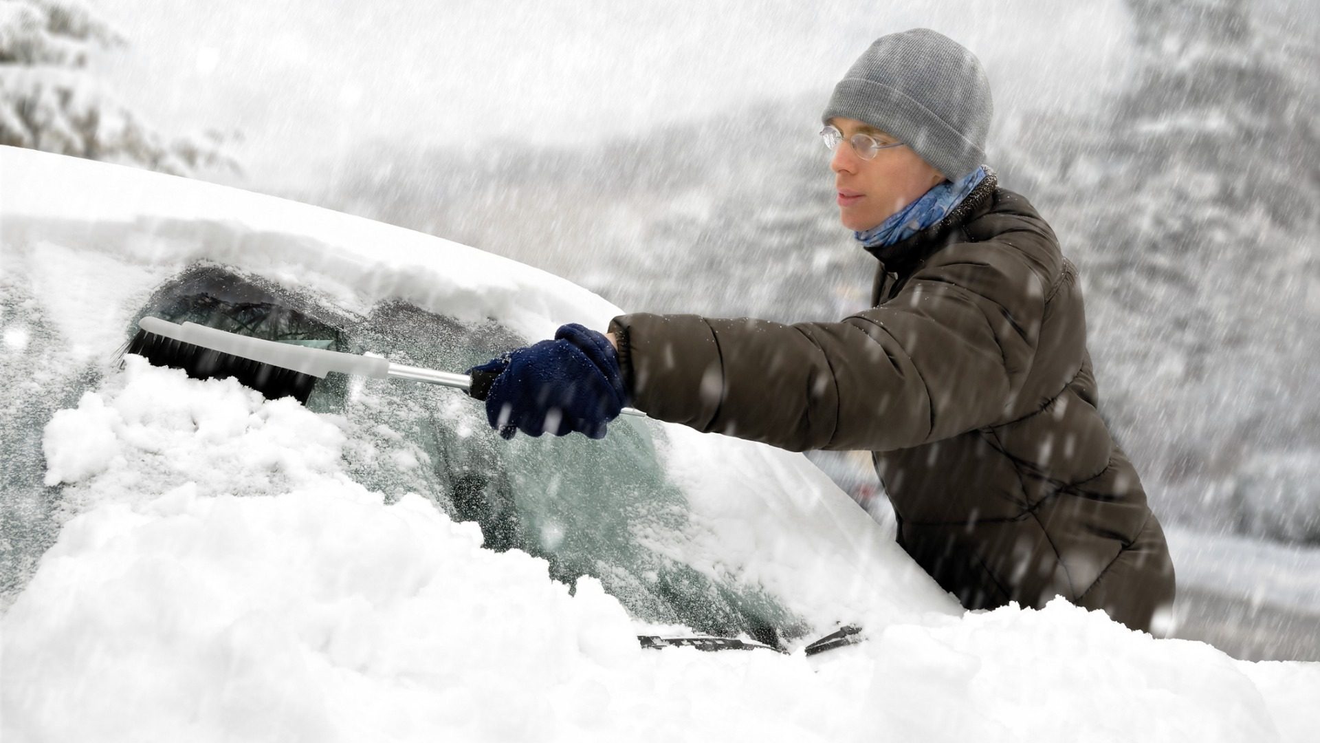
(Harrisburg) — A strong winter storm moving from the midwest and down through the deep south will swing up towards the northeast and bring with it a variety of precipitation.
Forecasters with the National Weather Service say snow should start falling in the southern portions of the midstate late Sunday afternoon.
The snow will continue, heavy at times, Sunday evening.
Warmer air is then forecast to move into our region, changing things to a mix of snow, sleet and freezing rain before changing to all rain overnight Sunday into Monday.
Periods of left over light snow are possible Monday morning.
Forecasters say Harrisburg and areas east will see the most changeover.
Snow accumulation is expected to be 3 to 6-inches, with higher amounts possible west of I-81.

A collection of interviews, photos, and music videos, featuring local musicians who have stopped by the WITF performance studio to share a little discussion and sound. Produced by WITF’s Joe Ulrich.
The days of journalism’s one-way street of simply producing stories for the public have long been over. Now, it’s time to find better ways to interact with you and ensure we meet your high standards of what a credible media organization should be.