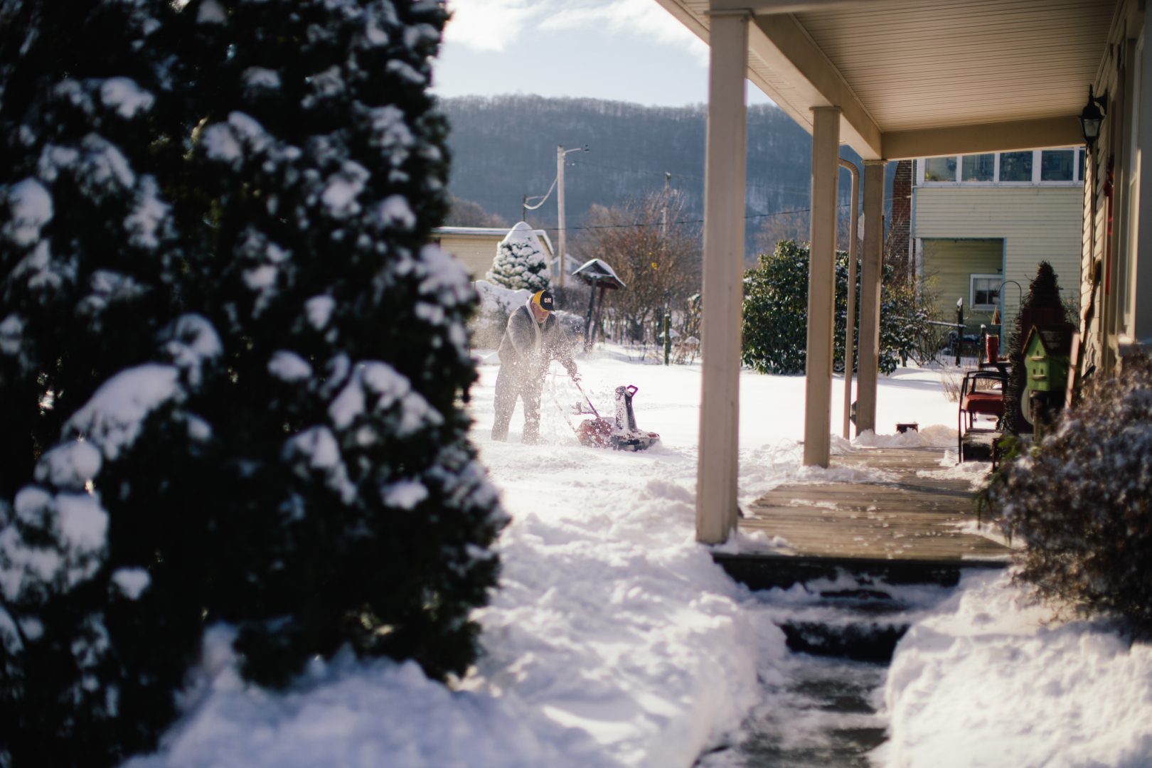
A man uses a snow blower in Millersburg, Pa., on December 17, 2020.
Kate Landis / WITF
A man uses a snow blower in Millersburg, Pa., on December 17, 2020.
Kate Landis / WITF
Kate Landis / WITF
A man uses a snow blower in Millersburg, Pa., on December 17, 2020.
(Harrisburg) — Snow storms that are just getting underway this morning in parts of central Pennsylvania could drop anywhere from 5 to 10 inches between now and Friday, forecasters said.
A winter storm warning in effect for a handful of midstate counties is calling for 5 to 7 inches of snow by Friday morning, according to the National Weather Service.
Sleet could mix with snow Thursday afternoon and evening south of Harrisburg, the NWS said. The snow and possible wintry mix could make travel “very difficult” Thursday, forecasters said.
The storm warning is in effect through 10 a.m. Friday for Dauphin, Cumberland, Perry, Lebanon, Adams, York, Lancaster, Franklin, Fulton and Schuylkill counties.
AccuWeather forecasters are calling for up to 10 inches of snow during the same time period. Temperatures are expected to peak near 28 degrees Thursday, and 36 on Friday.
Snow showers could pick back up at times Friday, but temperatures are projected to stay above freezing with little to no new snow accumulation, according to the NWS.
The weekend will be blissfully free of any new snow, sleet or rain, forecasters said. The NWS predicted Saturday and Sunday will be mostly sunny with highs in the low 30s.
Sometimes, your mornings are just too busy to catch the news beyond a headline or two. Don’t worry. The Morning Agenda has got your back. Each weekday morning, host Tim Lambert will keep you informed, amused, enlightened and up-to-date on what’s happening in central Pennsylvania and the rest of this great commonwealth.