Winter storm expected to cause hazardous conditions in midstate
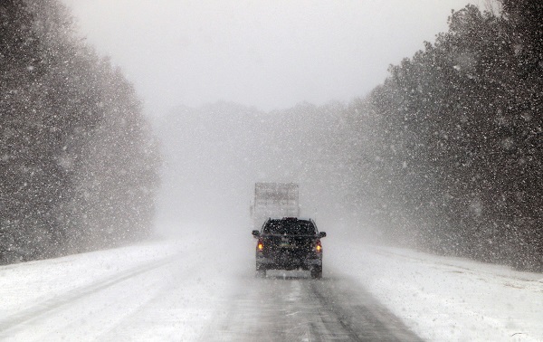
FILE: Vehicles move along a snow and ice covered Interstate 26, near Savannah, Ga., Wednesday, Jan. 3, 2018. (AP Photo/Robert Ray)
(Harrisburg) — A winter storm is bearing down on central Pennsylvania and meteorologists expect hazardous travel conditions.
Forecasters with the National Weather Service in State College said snow will start Saturday afternoon and continue through Sunday morning.
Meteorologist John Banghoff said what makes the forecast complicated is the transition from snow to freezing rain is hard to pinpoint.
“There’s going to be widespread impacts across the board, but the difference in getting up to a foot of snow up towards Williamsport versus only a couple inches down near Lancaster is all based on exactly where that transition occurs and where we end up getting a little bit more sleet and freezing rain as opposed to snow,” Banghoff said.
Snow accumulations between 12 and 16 inches are projected for areas closer to Interstate 80; six to 10 inches in the Harrisburg area; and three to six in places closer to the Maryland border.
About tenth of an inch of ice accumulation is also expected.
Banghoff said strong winds and plummeting temperatures will hit the region starting Sunday morning, which will create a risk of power outages.
“Starting Sunday morning the winds are going to pick up and temperatures are going to plummet,” he said. “By Monday morning we expect low temperatures to be in the single digits to near zero across central Pennsylvania with wind chills pushing to minus 15 to minus 25 degrees.”
It’s projected to warm up slightly by mid-week.
Temperatures are expected to be below average for the rest of the month.
Sometimes, your mornings are just too busy to catch the news beyond a headline or two. Don’t worry. The Morning Agenda has got your back. Each weekday morning, host Tim Lambert will keep you informed, amused, enlightened and up-to-date on what’s happening in central Pennsylvania and the rest of this great commonwealth.